17 July 2023 Monday
Sunny
Top of 35
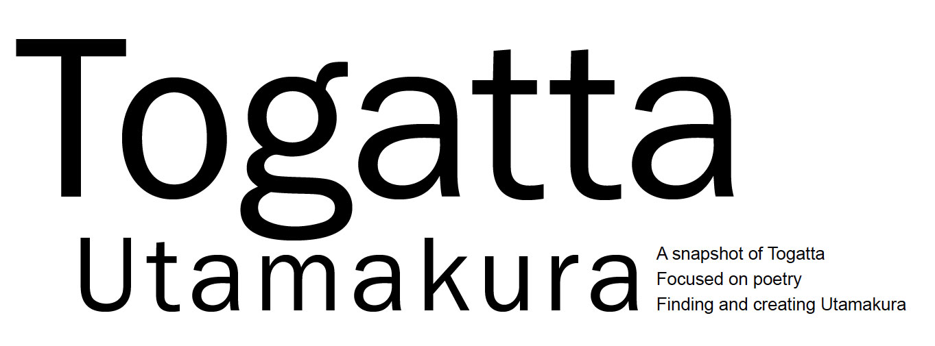
After breakfast we worked at our respective desks writing until Intan’s friends Terazaki Keitaro and Ito Rina from Tokyo arrived at 10 am. Intan came to the studio too, and the three went to Sendai. Martin and I drove over the Kokeshi-bashi Bridge on Route 457, and soon turned right into the Kokeshi maker’s village. The village’s sacred site was through a torii gate, and after climbing the stairs to the top, we paid our respects at four shrines: to Inari, Furumine, Yamagami and Koretaka.
Torii gates to the four shrines at kokeshi maker’s village. Photo by Mayu Kanamori
We drove slowly around the area twice, knowing that this was the Shinchi Iseki area, where there have been archaeological discoveries, for instance just south of this shrine, from Kodai times, which in Japan usually means from the beginning of Nara era (CE 710-794) to the end of Heian era (CE 794-1185). We then drove east and turned off Route 457 on to a local road that looped south and took us back, eventually, onto Route 457. Here we passed through areas where there have been finds from the Nanokahara Iseki, where they found early Jomon period (c. 14,000-300 BCE).
We then backtracked on Route 457, over the Kokeshi-bashi Bridge again, passed our studio, turned east onto Route 12, then south onto the Cosmos Line, then turned east at the first road sign that read: to Aoso-yama, although this mountain is locally often called Aoso-san. This was the same road we mistakenly took the other day and found the Gangyoji Iseki.
There were farms along this road. One farmhouse had a collection of a dozen stones with engraved names of shrines, deities and jizos by the home. On the southern corner of the second cross way along this road is a rock about two meters wide and one meter high, with engravings that read: Bato Kannon (Horse-head bodhittsava), Suiun-jinja (Water-cloud shrine) and another name of a shrine with a deity I could not construe.
Turning south at this corner, we drove up Aoso-san. Aoso means blue hemp and san means mountain. During the Nara and Heian times, Aoso-san was called Okatta-dake and is said to have been worshipped by villagers on its foothills as the mountain that protected them from the eruption of Katta-dake mountain in the present day Zao Mountain Ranges.
The map showed Yakushi-do Temple halfway up Aoso-san but we were unable to find it. There was logging as well as construction activity on Aoso-san. The road eventually started to run down the hill and we came out on the other side through the village of Kitaharao on the western foothills of the mountain.
Kitaharao is a dairy farming village, pioneered by people who once lived in what is now the Republic of Palau in the South Pacific, and were resettled here after World War II. Palau had become a Japanese colony in 1920, as part of the South Seas Mandate, which was a League of Nations initiative granting German colonies in the South Pacific to the Empire of Japan following the war.

Collection of stone monuments engraved with names of shrines, deities and jizos near the Gangyoji Iseki. Aoso-san Mountain is in the background. Photo by Mayu Kanamori

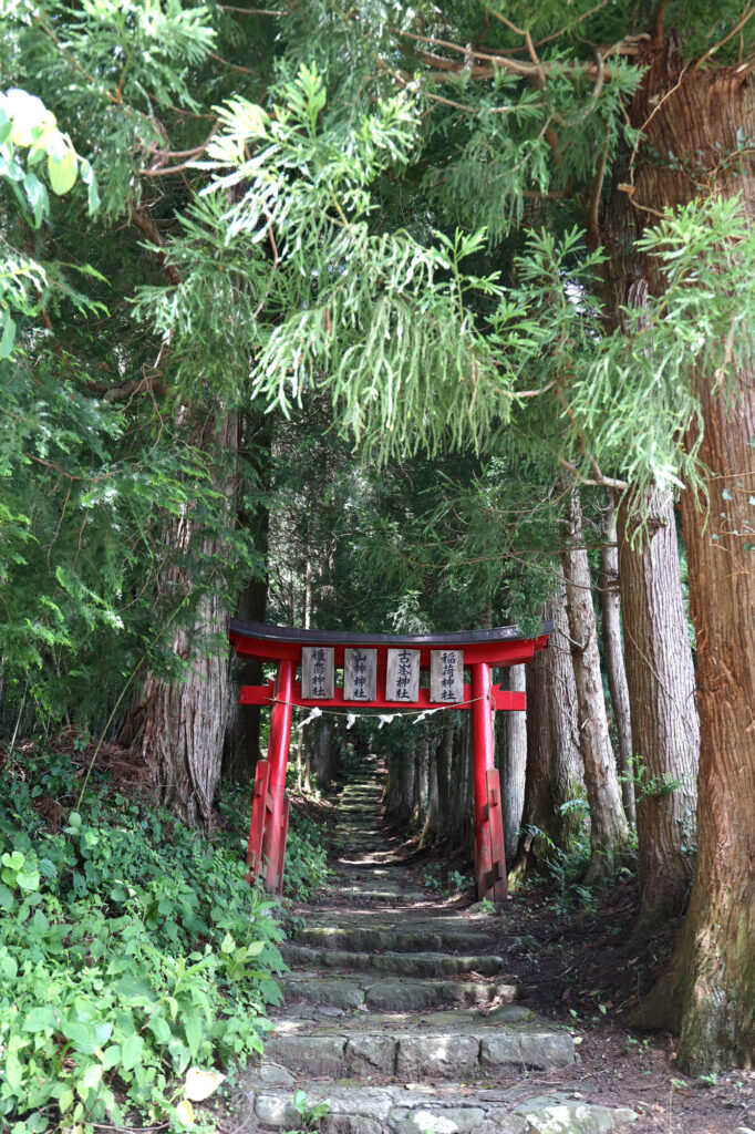
View of Zao ranges from Nakanohara Iseki. Photo by Mayu Kanamori
Where the road through Aoso-san met Route 457 on the western foothills, there were three monuments. One for the spirit of pioneers, another for the spirit of cows, and one commemorating the visit of the then Japanese Emperor Akihito and Empress Michiko in 2015.
We drove back north on Route 457 and stopped for lunch at the Zao Dairy Centre and also bought vegetables. After lunch we drove up the Zao Echo Line again to see the komakusa flowers but couldn’t find a viewing platform.
We returned to our studio at 3 pm and worked. At 4:30 pm I went to buy tofu at Hasegawa-ya again. We went to Kamino-yu at 6:30 pm, had dinner at the studio, and turned out our lights at 9 pm.


Recent Comments